
In an era where climate risks are increasing and homeowners face rising insurance challenges,...
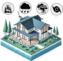


In an era where climate risks are increasing and homeowners face rising insurance challenges,...

Imagine trying to model a city’s flood risk using a 3D visualization technique that can’t...
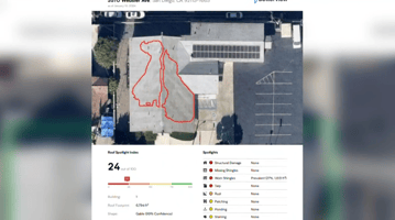
Image courtesy of CBS8 KFMB-TV With insurance companies increasingly using drones and aerial...

As wildfires become more frequent and devastating, utility companies are under increasing pressure...